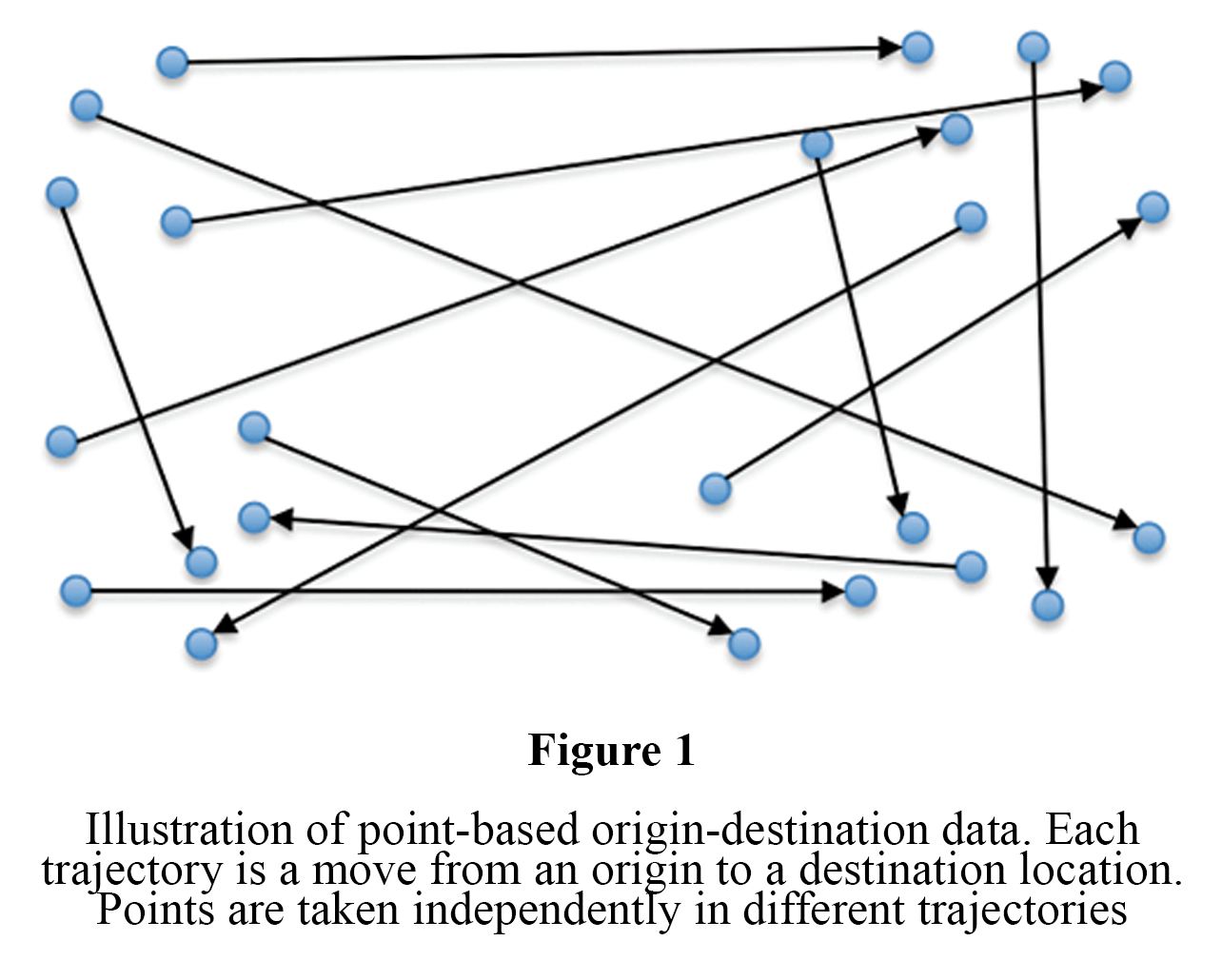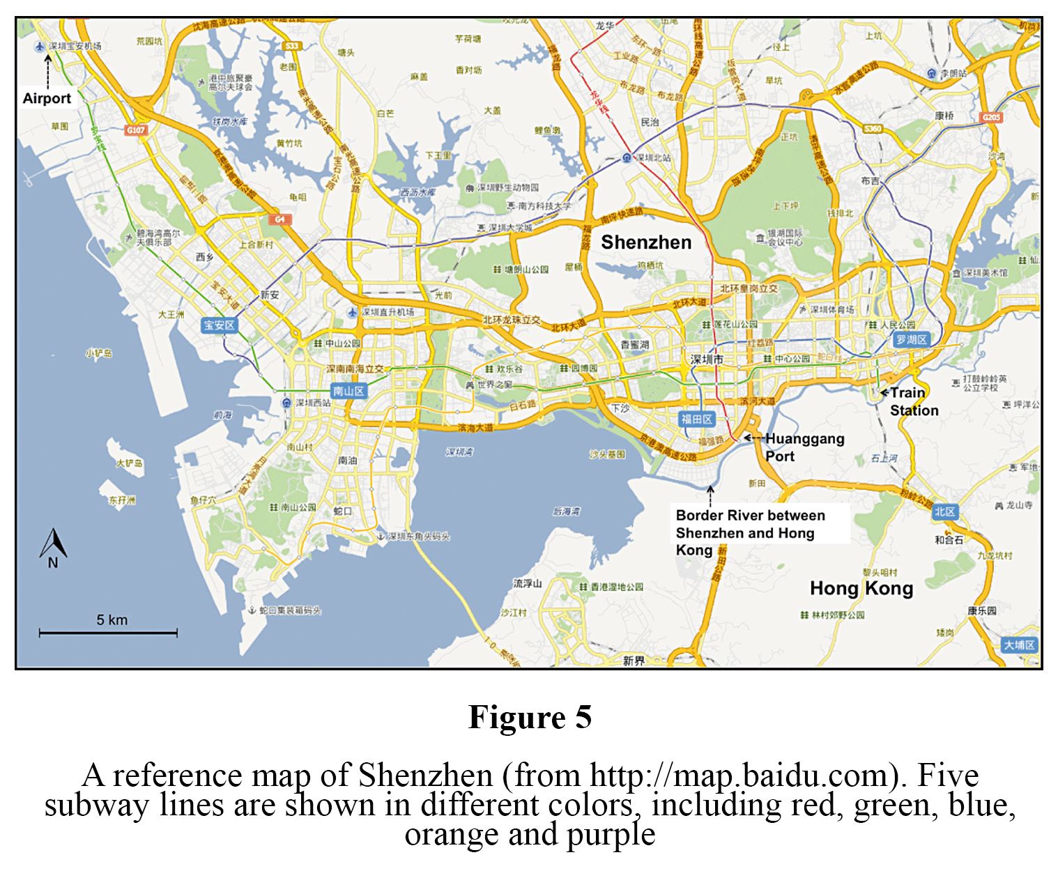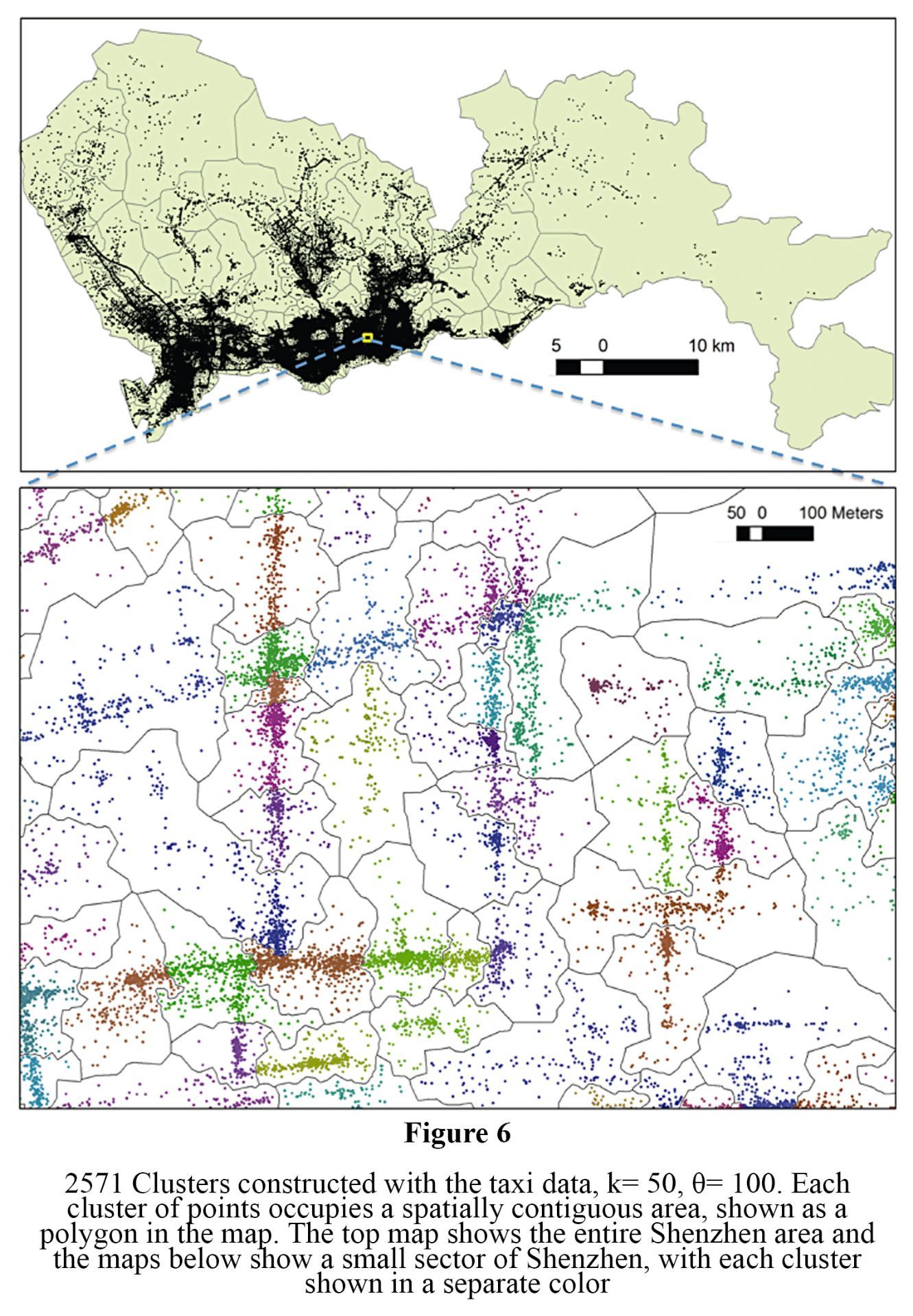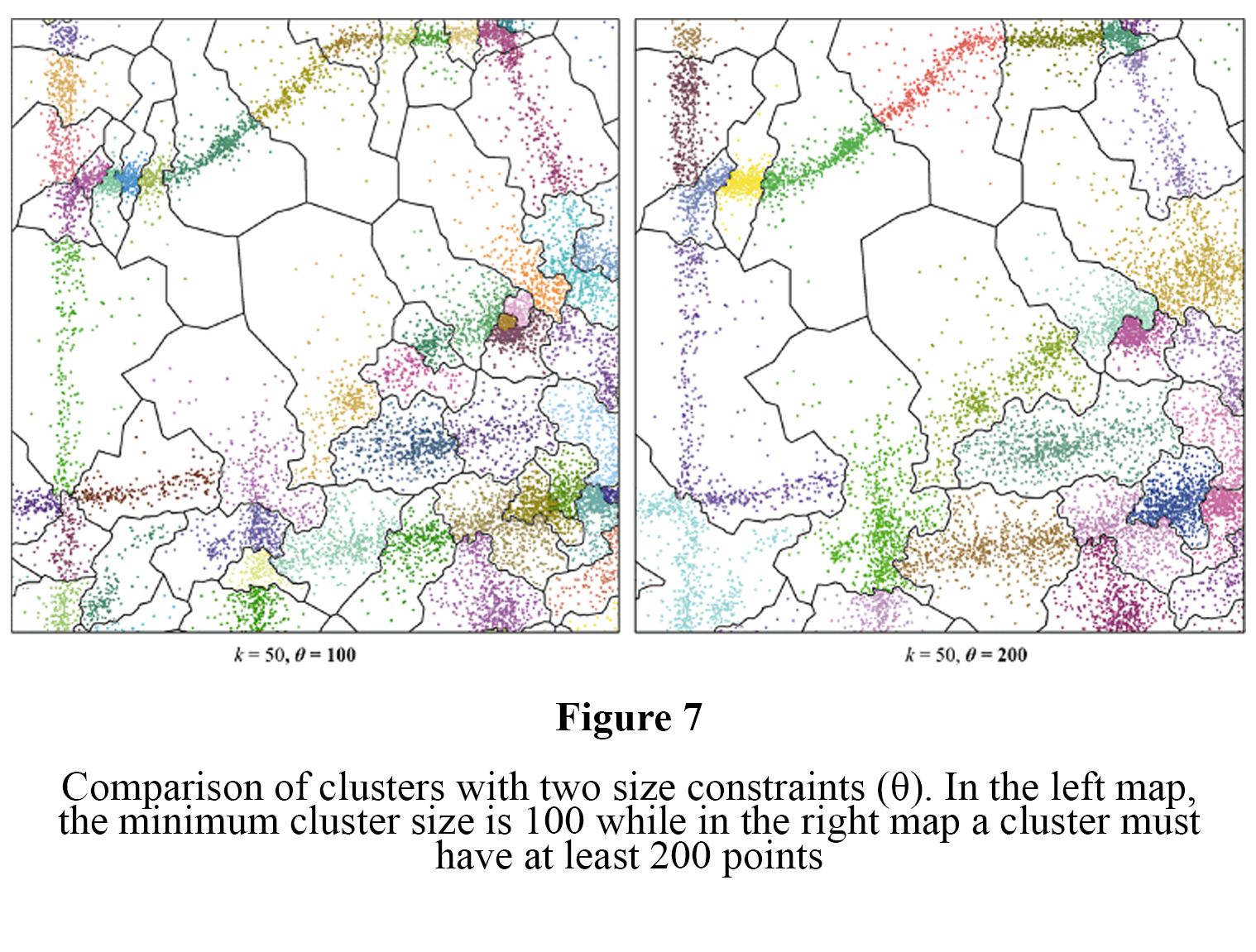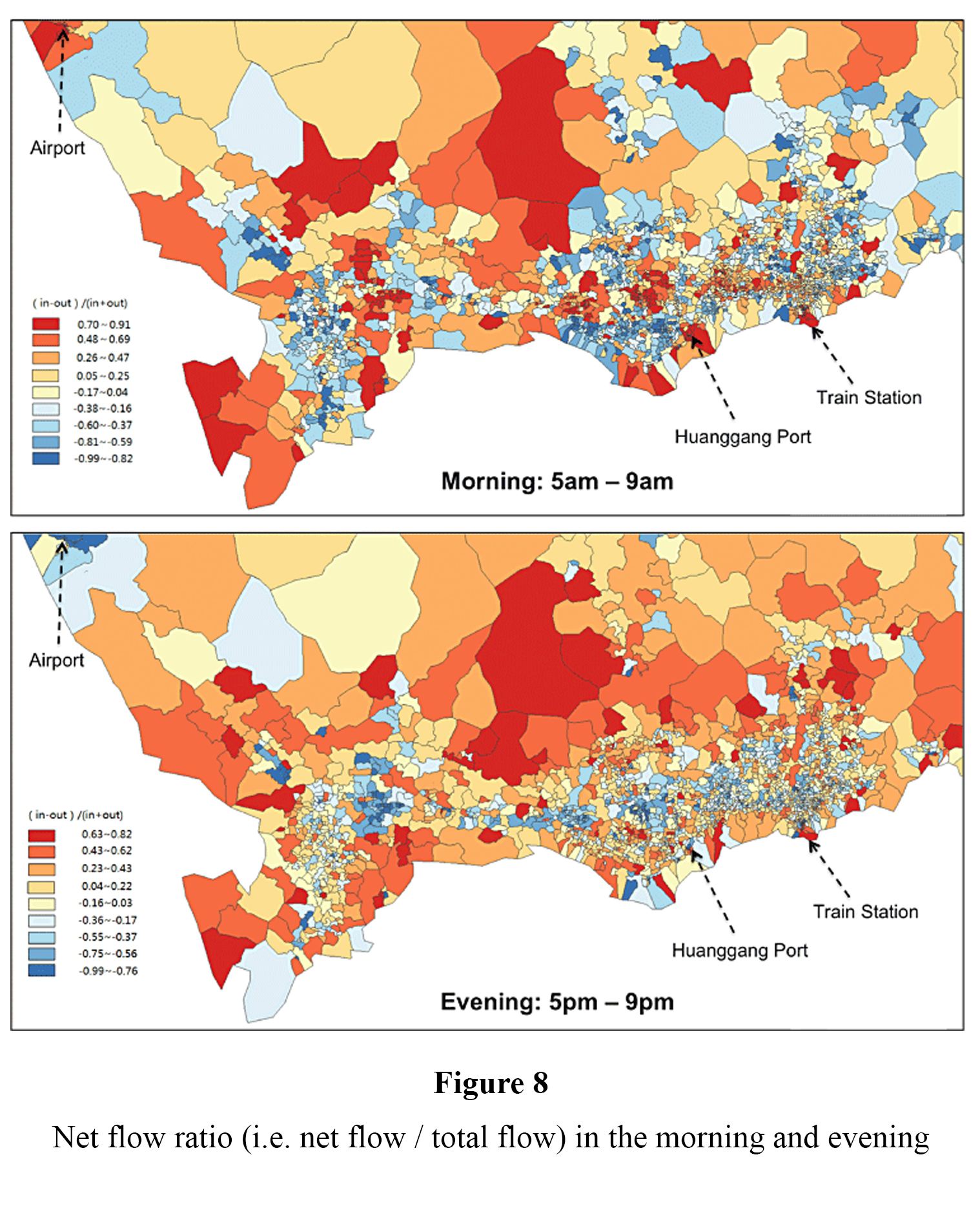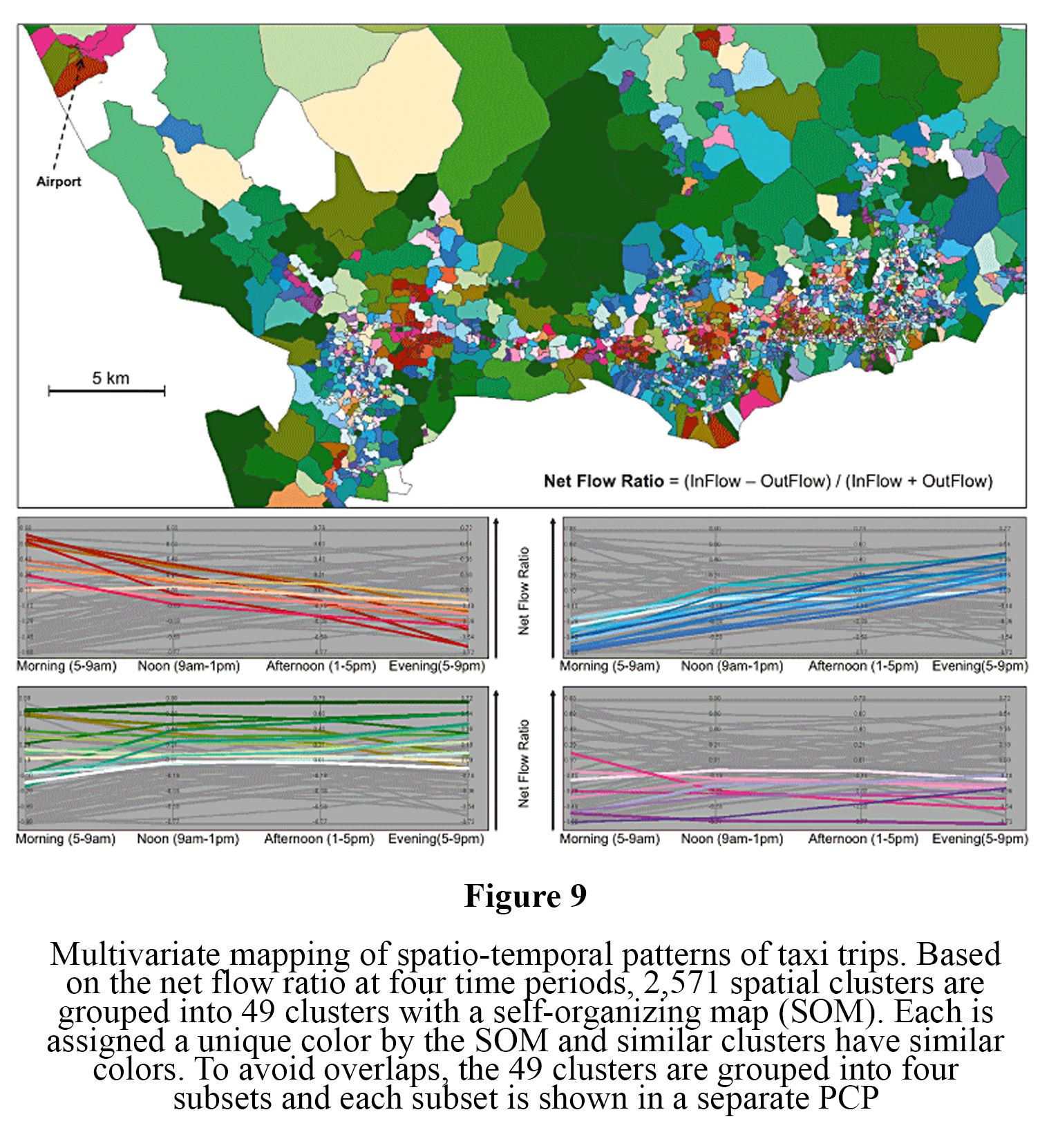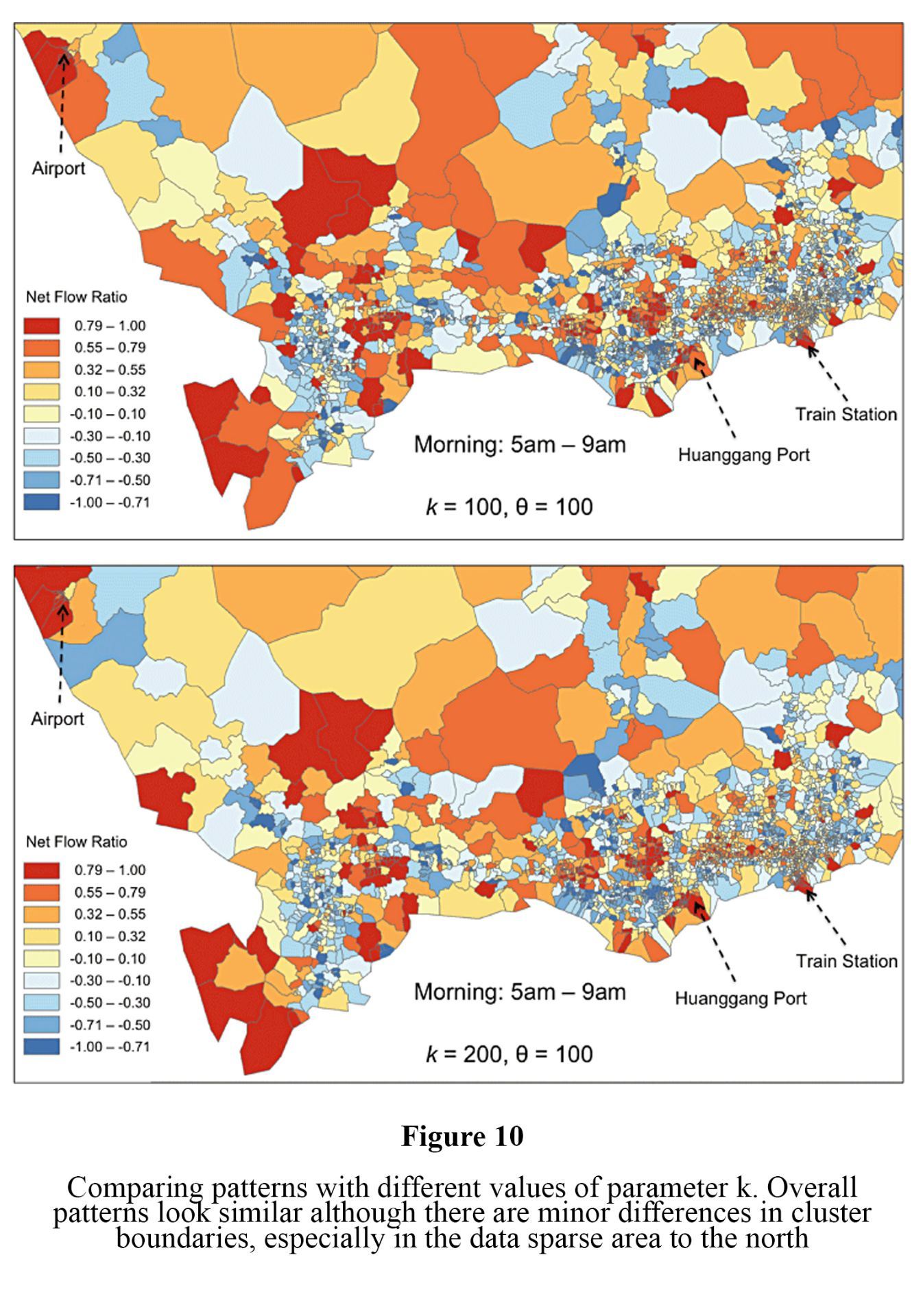
Findings: It’s hard to create a chart showing where a million people were picked up and dropped off. We can use clusters to simplify visualization.
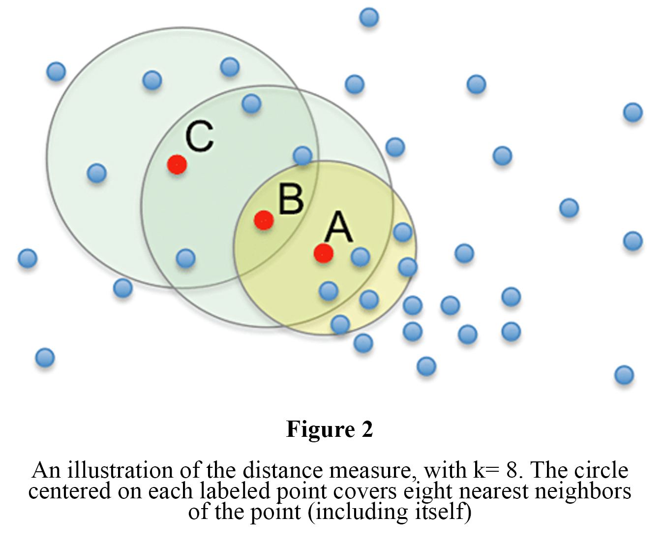
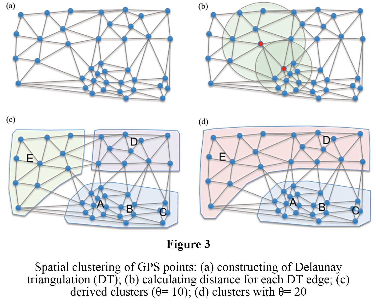
Method: Spacial clustering of massive GPS points and mapping cluster-based flow measures to discover spacial and temporal patterns. Results are demonstrated through taxi cabs in Shenzhen, China.
Good for: If you are interested in traffic analysis or would like a user-friendly system to show where large groups of people are moving at different times.